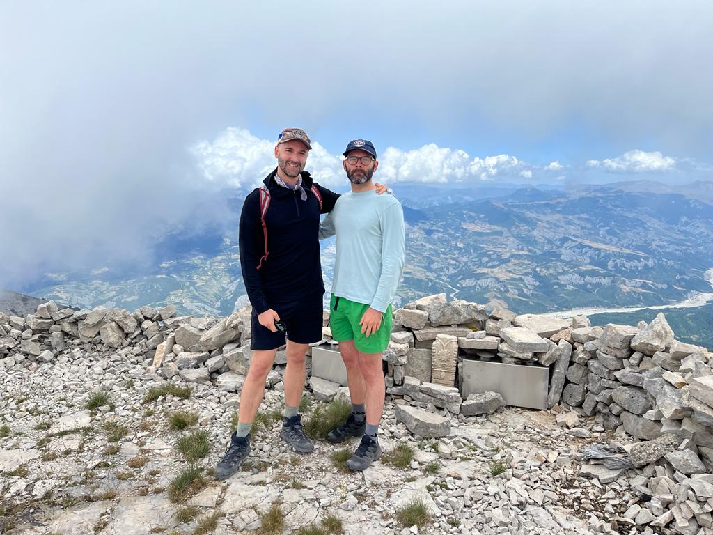
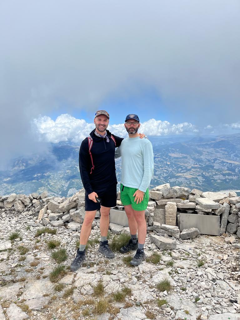
North Summit of Tomorr Mountain
Part of Tomorr National Park – the northen part of the mountain known also as Cuka Partizan is the highest summit of Tomorr Mountain.
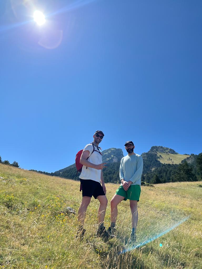
To get here you need to go at Qafe dardhe village from where you will start the hike
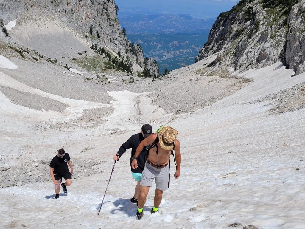
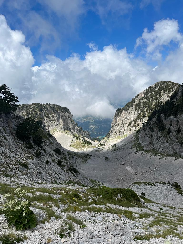
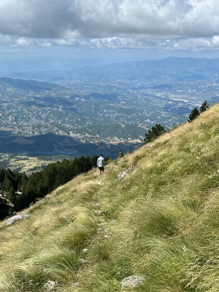
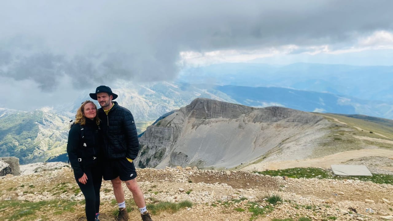
Tomorri Mountain, the most renowned mountain in Albania, holds great religious significance. It features a shrine on its lower south summit, which is also known as Mali i Kurbanit or Mali i Babait. The mountain consists of two main summits: the lower south summit and the higher north summit, referred to as Cuka Partizan. These two summits are separated by a challenging 10-kilometer long ridge.
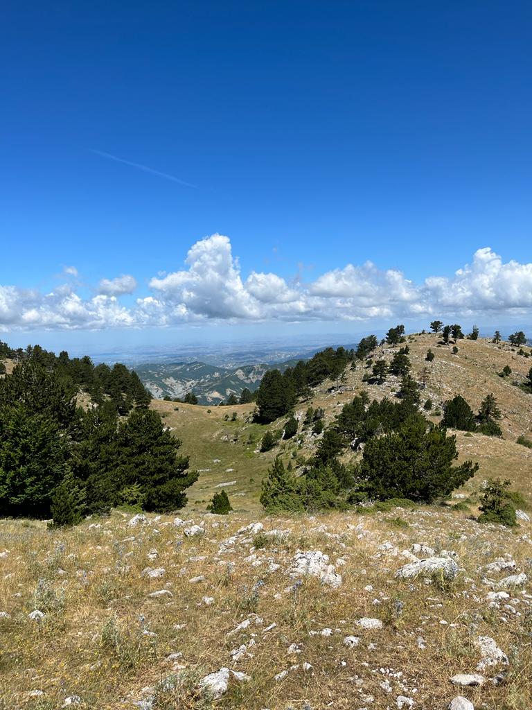
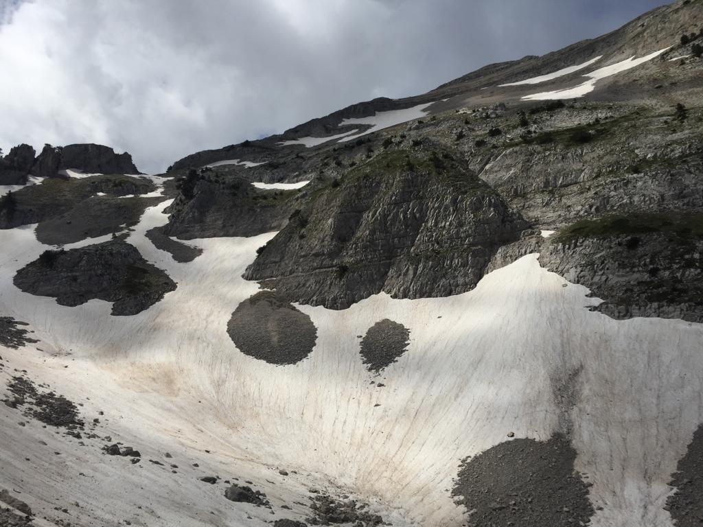
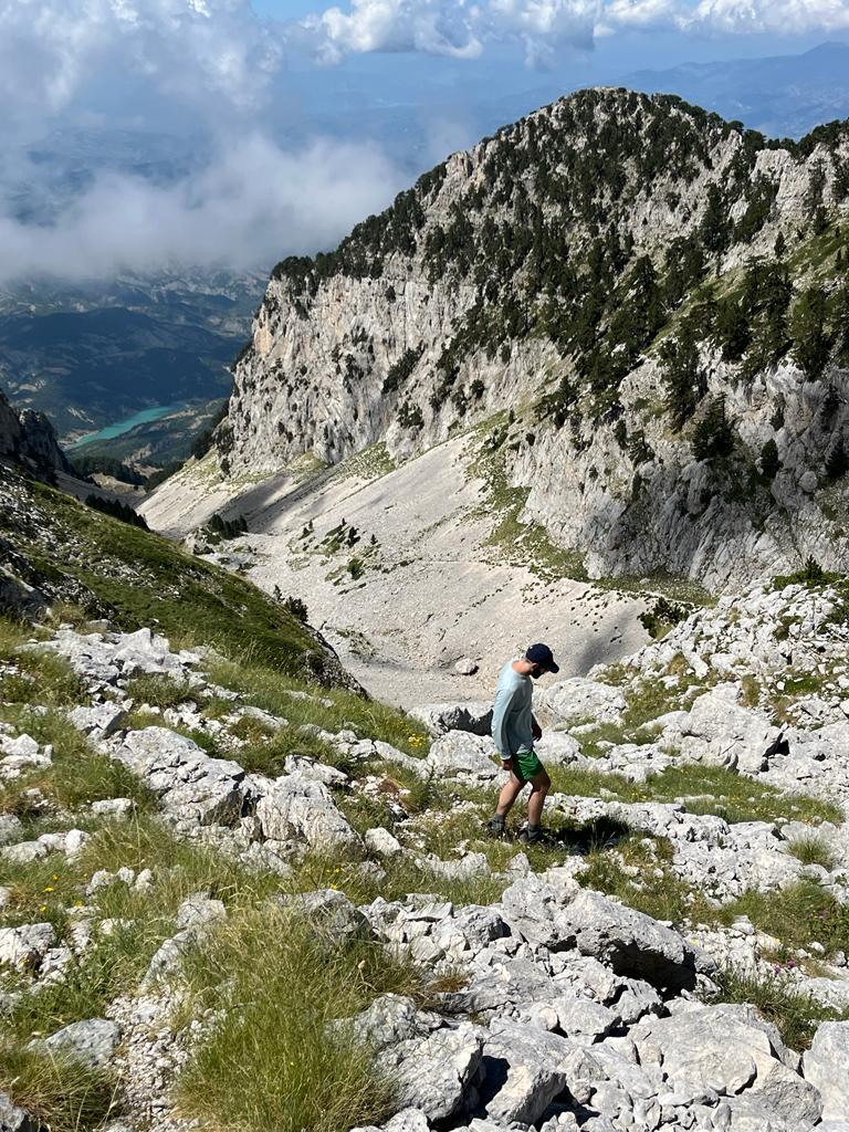
For those who aspire to reach the summit, it’s important to note that there is a trail, but it is still a demanding hike. The path traverses steep gravel slopes and often rocky terrain, and it involves a substantial elevation gain of over 1450 meters from the trailhead.
On the return journey, there might be potential shortcuts, although they may not significantly reduce the overall hiking time. These shortcuts could help avoid encountering herds of sheep and their dogs.
For detailed information on how to reach the trailhead, you can refer to the “Berat to Qafe Dardhe Route route. Keep in mind that the hike is considered difficult, with a substantial elevation gain and challenging terrain, particularly if starting from Gramsh. However, it is relatively easier when commencing from Berat.
**Hike Details:**
– Distance: 5.5 miles
– Elevation gain: 4,754 feet
– Technical difficulty: Difficult
– Elevation loss: 217 feet
– Maximum elevation: 7,907 feet
– Minimum elevation: 3,304 feet
– Total time: Approximately 7 hours and 48 minutes
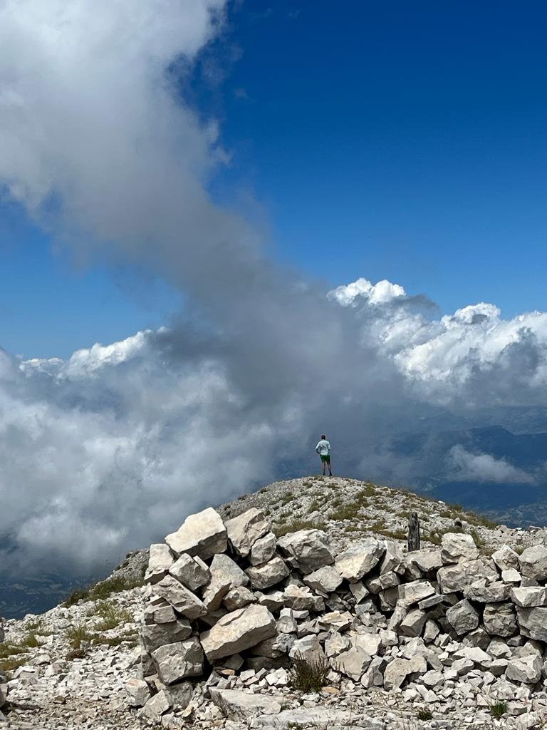
Please exercise caution and be well-prepared for this challenging hike, especially if you plan to reach the stunning summit of Cuka Partizan on Tomorri Mountain.
- Start by driving from Berat to Qafe Dardhe using this [Google Maps link] Please note that a 4×4 vehicle is essential for this journey, as the terrain can be challenging. The journey takes approx. 1 h 30 minutes. You will stop the vehicle at the fountain of Qafe Dardhe known as Cesma e Tarikos
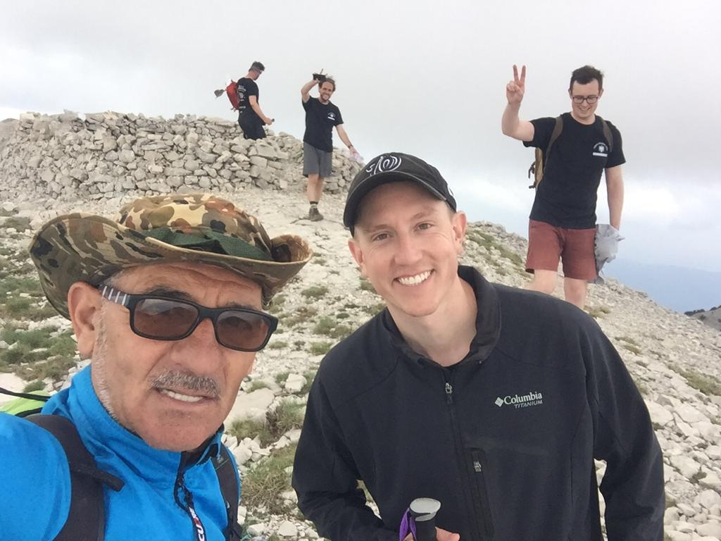
- From this point you will start the hike – you have some signs that will show you the Summit. Please keep in mind to have with you all the facilities for hiking. The total journey it will last approx. 7 h. From December to March – the summit is usually covered by big amount of snow.
- If you prefer a guided experience or assistance in organizing your hike to Tomorri Mountain, several companies offer tours and guides in this region. Feel free to contact us if you are interested in their services.
- Local Drivers from the village are offering the drive with 4×4 if you don’t have your vehicle. Feel free to contact us if you are interested in this service. You have also accommodation in the village of Qafe Dardhe. You can book online through booking.com or Airbnb. We can assist you also in reserving the guest house in the village.
These directions and the information provided should help you plan your journey to Tomorri Mountain and make your experience more enjoyable and convenient.
*Hike Details:**